Vanished Mills in South Cheshire
Give us our Daily Bread:
Bread is one of our staple foods.
Only in the 20th Century has only become possible to go into a shop or supermarket to buy some bread. Prior to that bread was baked from locally sourced flour that was ground from wheat or barley by a local Miller, and then sold locally.
The mills that were used to grind the wheat required either water or wind power to operate them.
There were a number of factors that governed the erection of a mill.
- Support from a wealthy land owner
- The cost of construction
- The knowledge and skills available to build a mill
- Presence of a nearby water course
- Presence of an elevated ridge where the wind was strong
Not all the major landowners had rivers, streams or brooks running through their large estates, so the solution was to erect windmills
We don't tend to think of our area as 'windmill country', more as an area where water mills flourished on the many watercourses, such as the Rivers Weaver and Gowy.
However, it may be that some of the windmills in our area were constructed as 'auxiliaries' to water mills, so that in times of drought it might still be possible to use wind power to grind the local corn.
At one time there was an obligation for all the residents of a manor to have their corn ground at the Lord of the Manor's mill, and he was able to charge them a fee for the service or to take a share of the grain as his due.
The rental book for Lord Crewe's estate in Peckforton shows that in 1653 he owned both a windmill and a water mill in the township.
They were close to each other and evidence for both of them still survives on the ground.
The rental book includes inventories for 'goods in ye watermill' and 'goods in ye Wyndmill'.
The latter inventory includes the toll ark, a container for his lordship's share of the grain.
Vanished Windmills:
As you walk along the Sandstone Trail on Larkton Hill, approaching Maiden Castle from the south-west, your eye may be drawn to a circular group of trees standing on the foothills, just above Broxton Hall Farm.
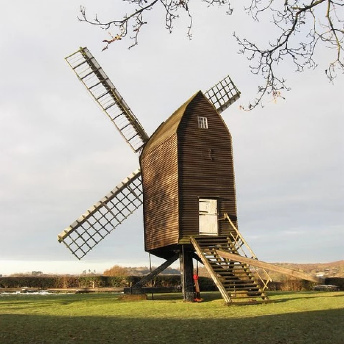
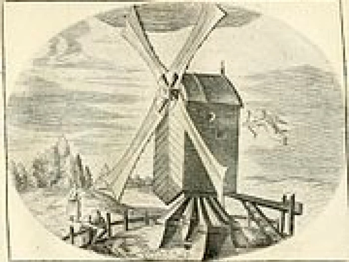
Known locally as Broxton Clump, the trees mark the site of a former post windmill.
Post mills were the forerunners of the tower mills, such as that beside the A.534 at Burland, now converted into a residence, and that of Bevans Mill at Threapwood, built in the late 18th century but now derelict.
The Broxton mill is marked on John Ogilby's road map of 1675 and is referred to in the diary of Robert Bulkeley of Bulkeley, covering the period 1714-1729.
At various times Robert wrote of his visits to Broxton windmill to grind his oats and other cereals.
In Malpas the street now called 'High Street' was known as 'Windmill Street' until the 1870s.
One windmill, to the south of Malpas, stood in the large field on the corner of Old Hall Street and Mastiff Lane.
During the 1976 drought Rhys Williams, the County Archaeologist at that time, carried out an extensive aerial survey of the Dee Valley area and photographed a crop mark in that field.
It was in the classic form of a circle containing a cross, evidence for the base of the trestle which had once supported the massive mill post, which would have been the trunk of a felled oak tree.
At the north end of the High Street, on Tilston Road, is the field where the Terrace of 12 dwellings, known as Brock Bank Cottages, were built in 2011 as part of the St Joseph's church redevelopment scheme.
In a lease by Lord Cholmondeley to Thomas Brereton of Edge, dated 1659, it is described as 'That part of the Milne field ... where said all milnes were lately erected by him and Lord Cholmondeley and called the wyndy Milne Banke'.
The 1836 -1851 Tithe Map records the 4 Acre field name as the Windmill Field; this being owned by the Marquess of Cholmondeley.
The land use at that time is described as Pasture being occupied by Elizabeth Evans.
Local Water Courses:
In the local area, the boundary between Shropshire and Cheshire is defined by the Grindley Brook. The boundary between Shropshire and Wales is defined by the Red Brook.
At the point where these two brooks meet the brook becomes the Wych Brook, which then forms the border between Cheshire and Wales.
The Wych Brook is joined by the Emral Brook at Worthenbury, where it becomes the Worthenbury Brook until it empties into the River Dee to the west of Shocklach.
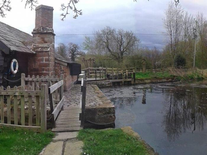
Vanished Water Mills:
Water Mills needed a constant supply of water to operate. This was generally achieved by the damming of the brook or stream to form a mill pond reservoir.
The boundary between England and North Wales in the Malpas Ward area is marked by a series of brooks and streams that eventually empty into the River Dee to the west of Shocklach.
A number of water mills existed on this water course in our area.
These were:
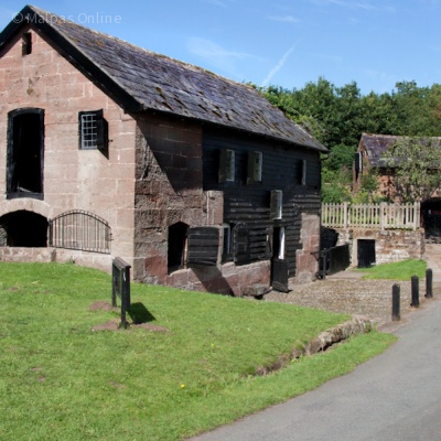
- Wolvesacre Mill – Now a private residence
- Wych Bridge Mill – Now a private residence (Located between Higher Wych and Grindley Brook)
- Oldcastle Mill – Now a private residence (Known in 1831 as Alports Mill)
- Dymocks Mill – Now a private residence (Known in 1831 as Dimocks Mill)
Chris Whitehurst
3rd December 2023
Acknowledgements:
Information partially sourced from research by David Hayns.
Article on Vanished Windmills in South Cheshire published in My Village News 2012
Quick Links
Village Map
Get In Touch
MalpasOnline is powered by our active community.
Please send us your news and views using the button below: